The Index of USGS 7.5' DEMs is No Longer
|
The Index of USGS 7.5' DEMs for the USA is no longer functional because the USGS has moved the data from their FTP site. All USGS 1:24,000-Scale (7.5-minute) Digital Elevation Model data in the Spatial Data Transfer Standard (SDTS) format are now available at no cost via ftp downloads from the GeoComm International Corporation (<http://www.gisdatadepot.com/dem/>). |
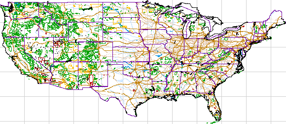
Click on the map to go to the GIS Data Depot. Or, for the curious, if you want to see what was here you may go to the old DEM Index pages. Be warned though that they do not point to data any longer. |
Return to Mapping page or go back to DavidWoolsey.com.
Page first created Monday, May 29, 2000
Page last modified Thursday, July 12, 2001 10:52 AM